Home / SERVICES
Our Services
01
AI, Data & Digital
Systems
Advanced computing for complex physical environments.
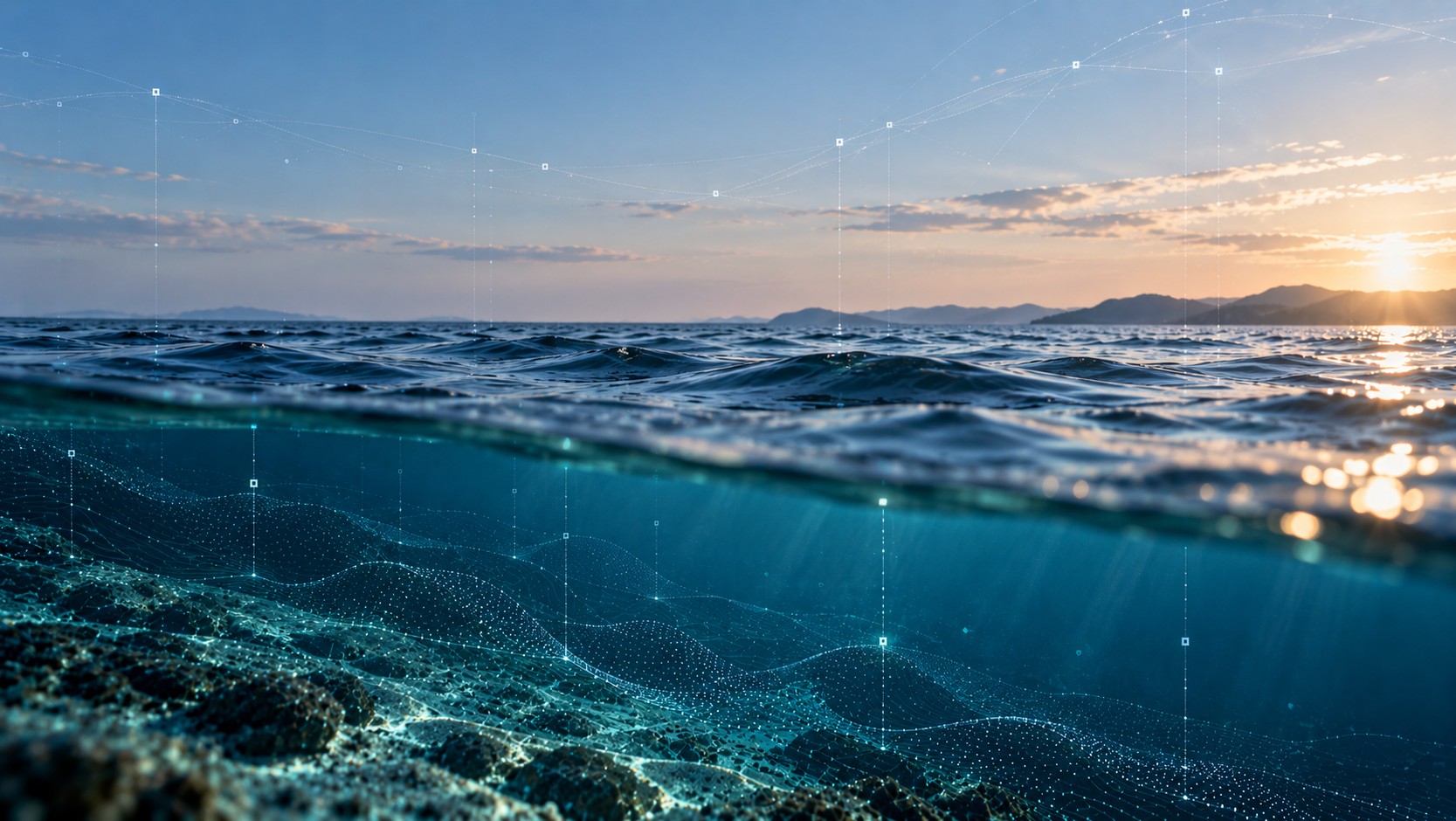
GAIA Marine combines AI, data engineering and marine domain expertise to design practical digital systems for offshore, coastal, environmental and industrial applications.
AI & Machine Learning
Computer vision, imagery classification, acoustic event detection, anomaly detection, predictive analytics and intelligent QA/QC for marine and industrial applications.
AI & Systems Architecture
Technical advisory and solution architecture for AI, data and digital systems, from initial strategy and technology selection through integration and deployment.
Data Engineering & Integration
Engineering of sensor, survey and operational data pipelines, databases and interfaces to connect disparate systems and enable reliable analysis.
Automation & Advanced Computing
Automated processing, QA/QC and reporting workflows using edge, cloud and high-performance computing to reduce manual effort and accelerate delivery.
Digital Twins & Decision Support
Integrated digital environments, dashboards and visualisation tools that turn complex physical data into accessible information for operational and engineering decisions.
Custom Systems & Prototyping
Development and integration of specialised hardware, software and field systems for monitoring, robotics, sensing and challenging marine applications.
02
Metocean & Environmental
Monitoring
We deliver marine environmental monitoring programs including water quality monitoring, oceanographic measurement, water sampling, sediment sampling, benthic habitat mapping and environmental baseline studies. These services support approvals, compliance, impact assessment, construction monitoring and long-term environmental management.

Water Quality Monitoring
Oceanography
Water Sampling & Analysis
Benthic Habitat Mapping
Sediment Sampling & Analysis
03
Hydrographic, Geophysical & Topographic Surveys
We undertake shallow-water hydrographic survey, side-scan sonar survey, sub-bottom profiling, search and recovery support, and coastal topographic survey. These services support engineering design, dredging, asset management, seabed characterisation, coastal infrastructure projects and post-event condition assessment.

Sub-Bottom Profiling
Shallow Water Hydrography
Side Scan Surveys
Search & Recovery
Topographic Surveys
04
Structural Inspection & Asset Integrity
We provide inspection services for port infrastructure, vessel hulls, tanks, pipelines, cables and other marine assets. We use a combination of vessel-based systems, ROVs, UAVs, imaging systems and specialist sensors to support asset condition assessment, maintenance planning and integrity management.

Port Infrastructure Surveys
Above and below water inspection of port infrastructure using UAV, vessel, ROV and imaging systems to assess asset condition and support maintenance planning.
Vessel Hull Inspection
ROV based vessel hull inspections delivering underwater visual records of hull condition, appendages, intakes, anodes and other submerged structures.
Tank Inspections
ROV-based tank inspections providing internal visual assessment of submerged or confined assets while reducing the need for full drainage or personnel entry.
Pipeline & Cable Surveys
Pipeline and cable route surveys using ROV, UUV, sonar and positioning systems to support route planning, inspection, burial assessment and integrity reporting.
05
Subsea Acoustic Assessments
We provide fixed-station and dynamic passive acoustic monitoring, underwater noise assessments, vessel acoustic signature measurements and acoustic data analysis. Our work supports baseline soundscape characterisation, vessel and construction noise assessment, marine fauna studies and regulator-ready underwater noise reporting.

Fixed Station PAM
Dynamic PAM
Vessel Acoustic Signatures
06
Marine Fauna Detection
& Mitigation
We support marine fauna observation, passive acoustic monitoring for vocalising fauna, HD and infrared sea-surface surveillance, and field-based mitigation programs. These services are designed to assist with environmental approvals, construction monitoring, operational risk management and marine fauna protection requirements.

Fixed Station PAM
Dynamic PAM
Marine Fauna Observations
HD/IR Sea Surface Surveillance
ENGAGE
Need a tailored scope?
Most engagements blend two or more service lines. Let’s design the right one with you.