
Deep-Water Physical Oceanography Monitoring for Environmental Impact Assessment
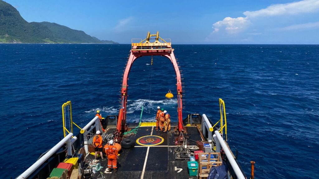
Client: Major Mining Operator Period: Dec 2025 – Jul 2026 Location: Sumbawa, Indonesia GAIA Marine delivered a complex deep-water physical oceanography monitoring program in a remote Indonesian offshore setting, successfully deploying, servicing and recovering subsurface moorings to collect current, temperature, water-level and wave data for project planning and environmental assessment. The program […]
Integrated Shallow-Water Survey for Port Infrastructure Upgrade
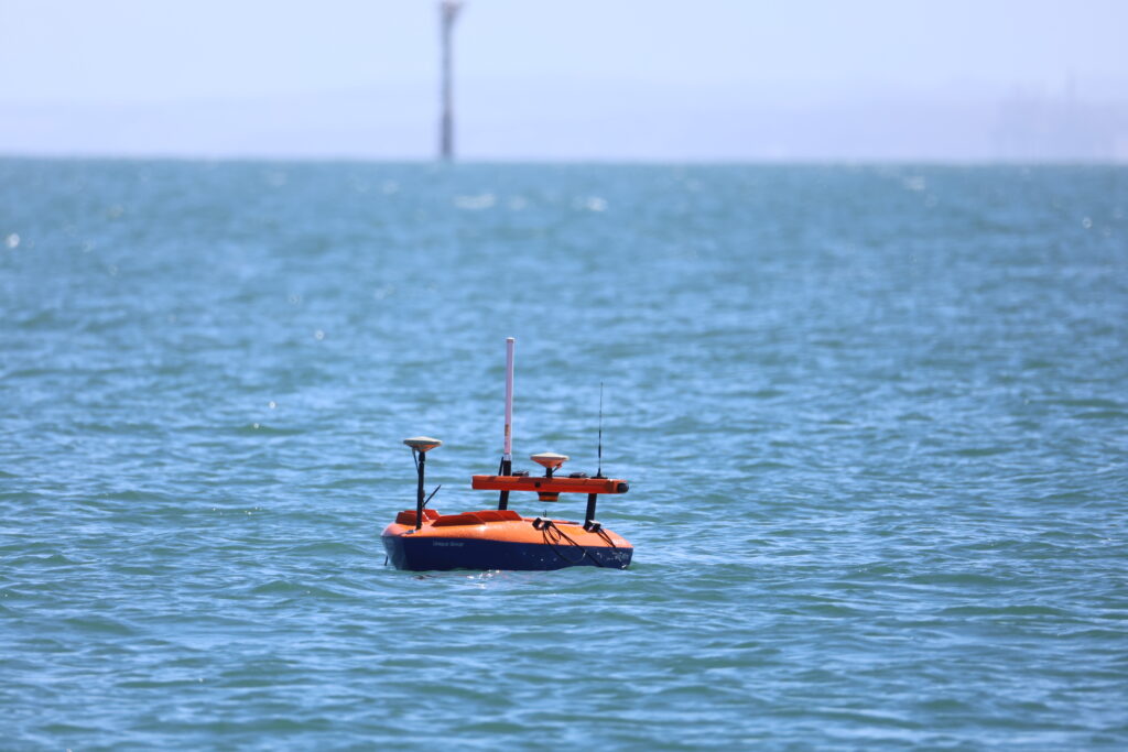
Client: Mining and Port Infrastructure Operator Period: November 2025 – March 2026 Location: Pilbara, Western Australia GAIA Marine delivered an integrated shallow-water survey program in the Pilbara, combining USV-based multibeam bathymetry, sub-bottom profiling, metocean monitoring and benthic habitat assessment to support port infrastructure planning in a constrained operational marine environment. The project required multiple […]
Benthic Habitat Assessment for Port Maintenance Planning
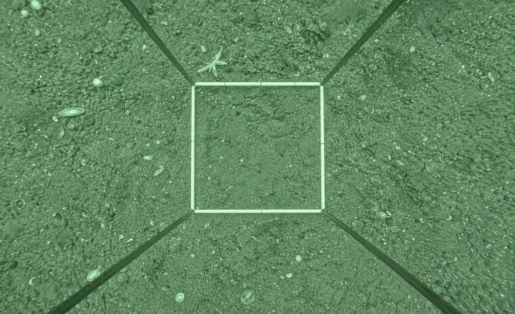
Client: Port Infrastructure Client Period: November 2025 Location: Pilbara, Western Australia GAIA Marine completed a high-level benthic habitat assessment in the Pilbara, using drop-camera imagery, georeferenced site records and a standardised habitat classification framework to support port maintenance and planning activities. The survey was designed to characterise seabed habitat conditions across a defined port precinct area […]
USV Bathymetry and Benthic Survey for Jack-Up Barge Mooring Assessment
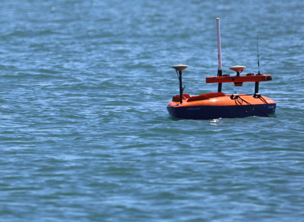
Client: Port Infrastructure Operator Period: November 2025 Location: Pilbara, Western Australia GAIA Marine delivered a focused shallow-water survey for a jack-up barge mooring assessment in the Pilbara, combining USV-based multibeam bathymetry and drop-camera benthic habitat survey to support nearshore port infrastructure planning. The project required high-resolution bathymetric and benthic habitat data within a […]
Benthic Habitat Survey for Marine Infrastructure Project (Winter)
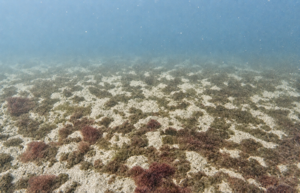
Client: Offshore Energy Operator Period: August 2025 Location: Victoria, Australia Following the successful summer baseline campaign, GAIA Marine returned in winter to complete an expanded benthic habitat survey of over 250 line kms, delivering repeatable towed-camera acquisition, georeferenced imagery and high-resolution metadata across a revised marine infrastructure survey area. The winter campaign built […]
Environmental Baseline Sampling for Offshore Energy Development
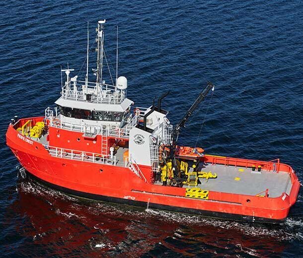
Client: Offshore Energy Operator Period: June 2025 Location: Victoria, Australia GAIA Marine delivered an offshore environmental baseline sampling campaign in Victoria, collecting sediment, water-column and benthic visual data to support future offshore energy development planning and environmental assessment. The campaign was designed to address gaps in existing seabed and environmental survey data for proposed offshore development […]
Benthic Habitat Survey for Proposed Marine Energy Infrastructure (Summer)
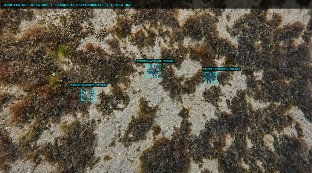
Client: Offshore Energy Client Period: February 2025 Location: Victoria, Australia GAIA Marine completed the initial summer benthic habitat survey for proposed marine energy infrastructure in Victoria, establishing a georeferenced seabed imagery and metadata baseline to support environmental approvals and future survey planning. The summer campaign formed the first major benthic survey phase for the project, with […]
Maritime Robotics and Autonomous Systems Familiarisation Program
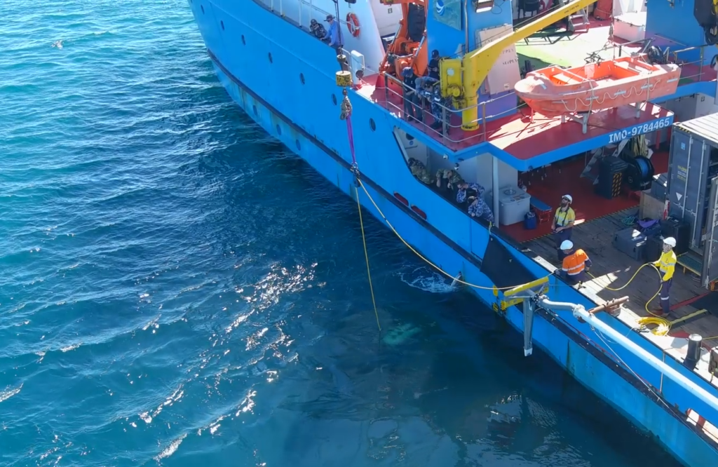
Client: Defence Sector Client Period: November 2023 – June 2024 Location: Western Australia, Australia GAIA Marine supported a major maritime technology familiarisation program in Western Australia, helping deliver practical exposure to uncrewed underwater systems, mini-ROV operations, metocean instrumentation and subsea acoustic technologies for defence personnel. The broader program was established to provide defense personnel with hands-on […]